West Ochils
| Date: | Sunday 18 February |
| Transport: | COACH |
| OS Map No: | 58 |
A Walk - Blairdenon Hill (Donald)
From Main St, Menstrie go up Park Rd. Turn right into Ochil Rd. After 100 m take track on left that zigzags up the hillside. After approx. 2.5km, cross the First Inchna Burn and follow an ATV track up the SW spur of Colsnaur Hill (553m). Head N beside a drystane dyke and fence over Menstrie Moss to Blairdenon Hill (631m). Head E then SE to pick up the top of the track at NS889010 then head S to The Nebit (449m). Return to track and descend to Alva.
Approx distance: 16.1 km
Total ascent: 843 m
Min walking time: 5½ hrs
B Walk - Blairdenon Hill and Bengengie Hill
As A walk to Blairdenon Hill (631m) then S to Bengengie Hill. Head E for 0.5km to pick up the top of the track at NS873004, before descending on the track to Alva.
Approx distance: 15.3 km
Total ascent: 650 m
Min walking time: 4¾ hrs
C Walk - Lower Alva Glen and Ochils Hills Woodland Park
Starting in Alva head N up Alva Glen past Alva Dam and Smugglers Cave to Spout of Craighorn. Return via the high path on the W of the Glen (the Pate Road). From the carpark, follow tracks and paths eastwards to Silver Glen and Ochil Hills Woodland Park. There is a choice of walks here. Return to rendezvous point in Alva. Some information leaflets will be available on the day or for more info: https://www.clacks.gov.uk/site/documents/countryside/ochilhillswoodlandparkalvaleaflet/
Approx distance: 8 km
Total ascent: 340 m
Min walking time: 4 hrs
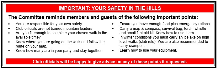
Please note that the Minimum walking times are based on reasonably fast walkers and assuming good conditions. The times do not include stops or breaks. In poor weather conditions or if members are not comfortable walking at 4km/hour then alternative or shorter routes should be considered.
Next Walk/Activity:
Club Quiz 23rd February in Blairgowrie golf Club. The Club is hosting the Mountain Mind Quiz on 12th March. Members cannot enter this but may assist.